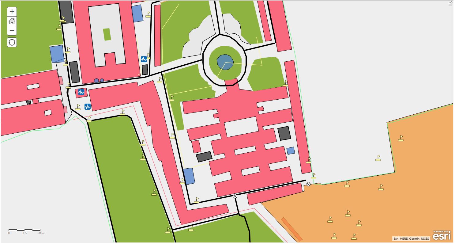
GIS based integrated facility information system for RVS campus
A web based information system that provides every possible geographical as well as infrastructural information about campus. The facility management system was developed as a pilot project on the campus.
Why I did the project?
The idea behind project was to demonstrate the capabilities of Geospatial Technology in the field of facility management. The project was designe to scale as a digitial twin of the campus.
Tech
| Desktop GIS | QGIS |
| Web GIS | ArcGIS Webmap |
Timeline
Published:March 2014
Status: Archived